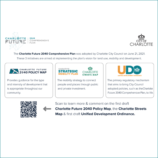
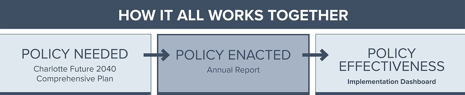
The Charlotte Future 2040 Policy Map is a companion to the Charlotte Future 2040 Comprehensive Plan and is a translation of the plan’s place-based policies to specific geographies. It informs the type and intensity of development that is appropriate throughout city and will be used in multiple decision-making processes such as future zoning decisions and capital investments. On March 28, 2022 Charlotte City Council adopted the Charlotte Future 2040 Policy Map. Thank you to all who participated and provided your input in this effort!
The first draft was released in October 2021 and the second and third drafts were released in January and February 2022.
On March 28, 2022 Charlotte City Council adopted the Charlotte Future 2040 Policy Map. Thank you to all who participated and provided your input in this effort!